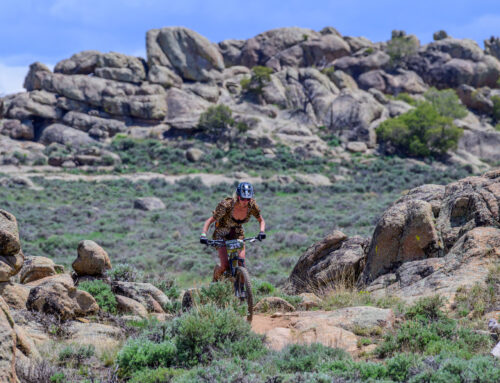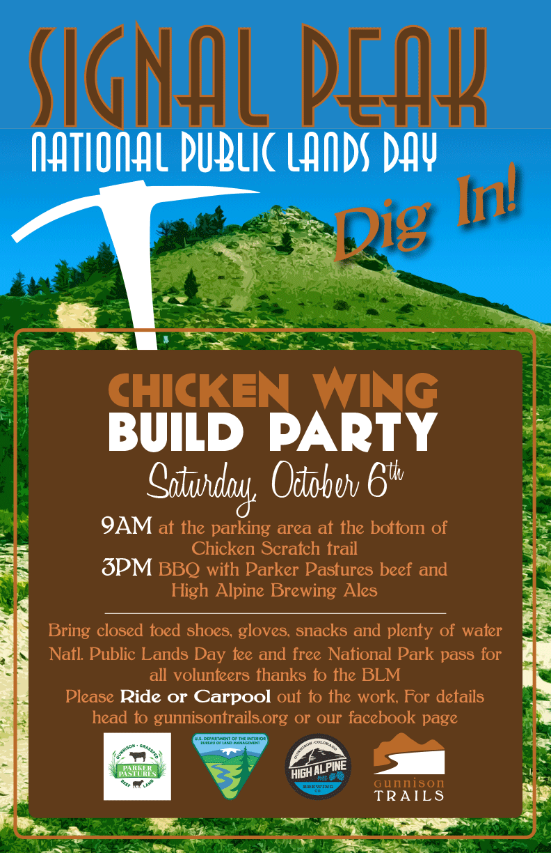
That’s right! We’ll be closing out the 2018 season on a high note, cutting 1.5 miles of fresh track, dubbed Chicken Wing. Part National Public Lands Day, part Signal Peak celebration, we’ll need all hands on deck to get this monster built. Join Gunnison Trails, the BLM and CBMBA at 9am at the base of Chicken Scratch trail (located on BLM 3123, map with directions below). We’ll be digging from 9am-3pm, following the work with….you guessed it, brews and a BBQ on-site. Parker Pastures has generously donated local, grass-fed beef to feed the hungry masses, while High Alpine Brewing will be pouring the draft beers. And if that’s not enough, the BLM will be handing out Natl. Public Lands Day tees and Free National Park Passes to all volunteers.
A bit about the work: Chicken Wing surfs the ridge to the west of Chicken Scratch trail, dropping from a high knob near the Ridge trail and carving its way across open bowls of sage. The added moisture this week should make for some perfect digging conditions out there. There will be brief sections of bench cutting, several turns that will need some proper attention and loads of swooping trail in between. Don’t forget good gloves, sturdy shoes, hat, sunglasses, water and food to get you through the day. Please carpool or ride to the workday if possible as parking will be limited. And if you do drive, there are several pull offs around the base camp where we’ll be set up…please do not create additional parking by pulling off into the sage. For additional info or questions, email [email protected].
A HUGE thank you to our partners at the BLM, Parker Pastures and High Alpine Brewing for providing the party, and the fine folks at CBMBA and the Crested Butte Conservation Corps. for trudging down valley to help dig. Here’s to an incredible 2018 season, and we hope to see you on Saturday.”
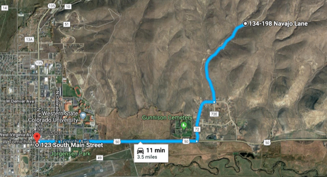
Directions: Travel east on Hwy. 50 for 1.8 miles and turn left just past the cemetery into the Tomichi Heights neighborhood. Follow Ute Lane through the neighborhood, then turn left on BLM 3123. You’ll pass through a gate and over a cattle guard almost immediately. Follow the road for 1 mile to the base camp for the day. There are several pull offs and parking areas located at the base camp, and additional parking just past the EZ-up to the left. Or, ride the Cemetery Ditch or Contour trail out to the workday.
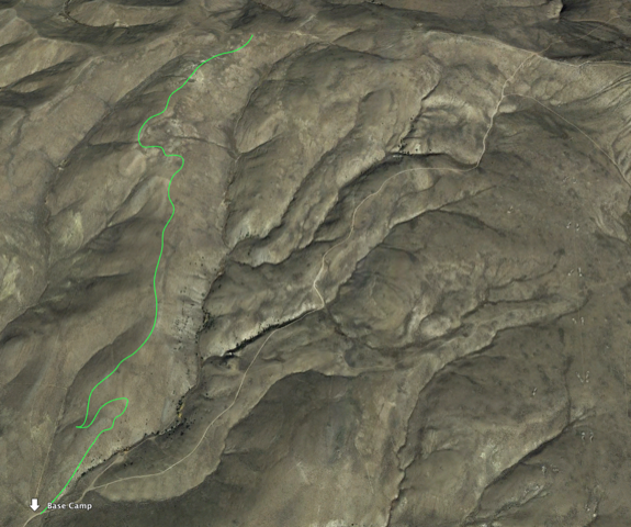
Chicken Wing in all it’s Google Earth glory!
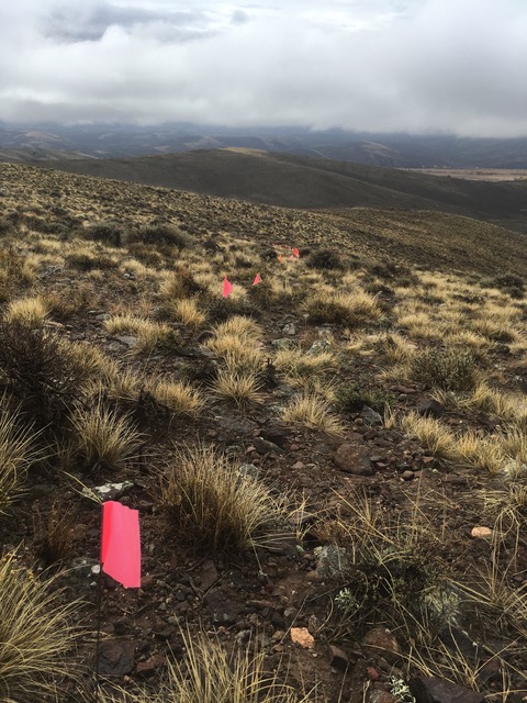
Tiny little pink flags representing future trail…and hours of hiking, hiking, and more hiking.
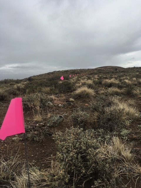
Tiny little pink flags representing future trail…and hours of hiking, hiking, and more hiking.